Residential and preservation architects who want the real terrain, trees, and context in front of them before the first sketch.
What you walk away with
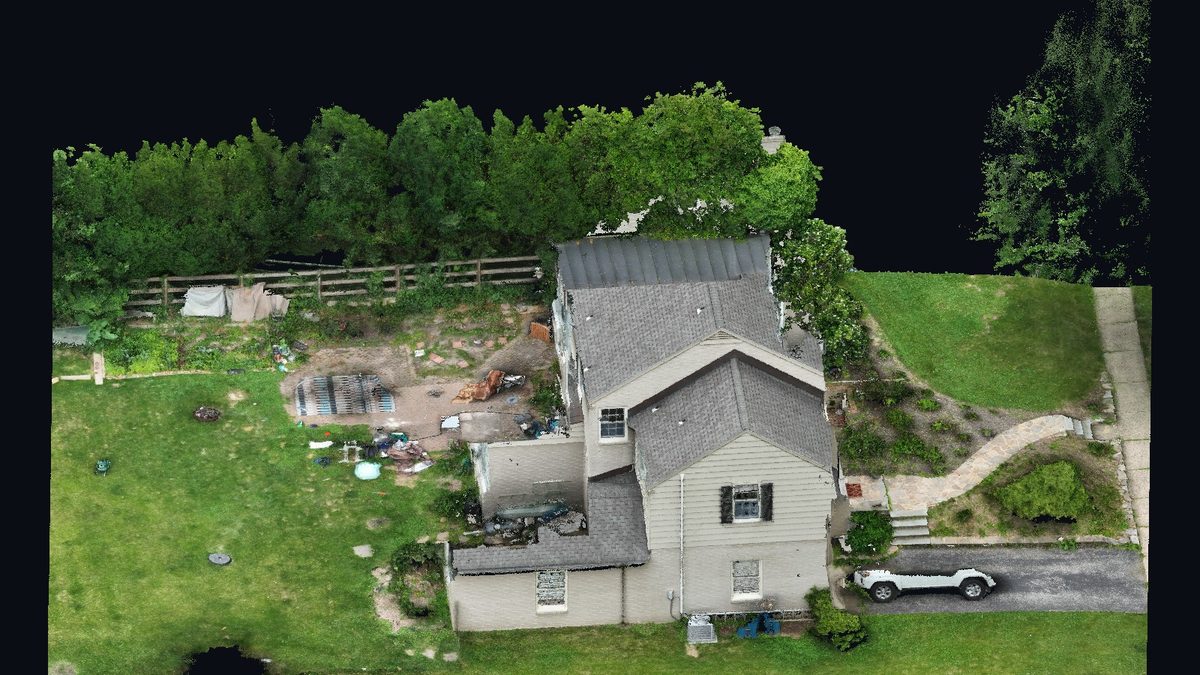
Site-context 3D model
A true-to-scale model of the lot and its surroundings to design against — the slope you're stepping the plan down, the trees you're keeping, the neighbor's ridge line you're staying under.
Delivered as: GLB · OBJ/FBX · DXF
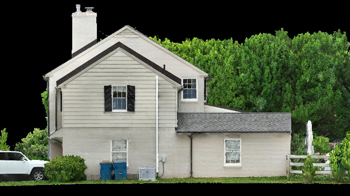
Existing-conditions documentation
For renovation and addition work: the building as it stands, measurable, with close detail on roofs, chimneys, and elevations — no scaffolding, no tape measure on a ladder.
Delivered as: point cloud (LAS/PTX) · photos · 3D mesh
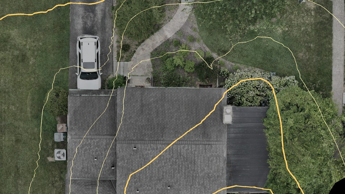
Topography & contours
Contour linework and elevation models of the parcel, ready for grading studies and site plans.
Delivered as: contours (DXF/SHP) · DTM GeoTIFF
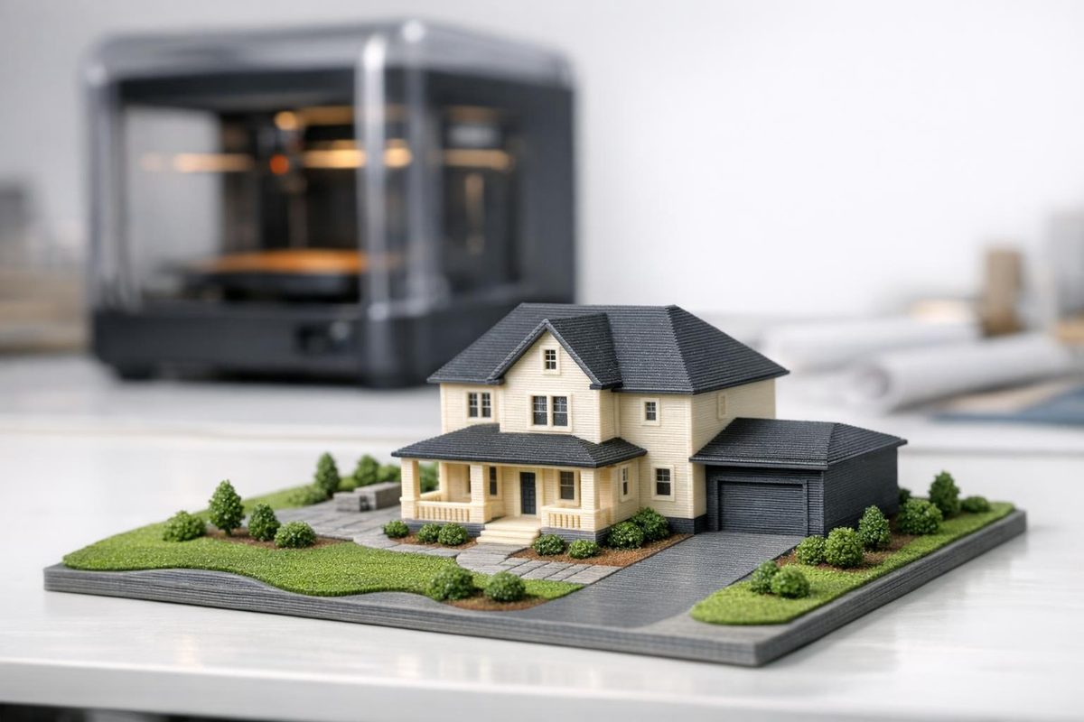
3D-printed site model
The captured site as a physical scale model for client presentations — the lot, the terrain, the massing context, printed.
Delivered as: print-ready STL/3MF (or the printed model)
Historic preservation record
Period structures documented in dense, measurable 3D — a permanent record of existing fabric before intervention, and a base for restoration drawings.
Delivered as: 3D model · point cloud · ortho elevations
Fits your workflow
- —Point clouds land in Revit, ArchiCAD, and AutoCAD via LAS/PTX/DXF
- —GLB/FBX models drop into SketchUp, Rhino, Twinmotion, and Lumion
- —Georeferenced outputs align to survey when your civil engineer needs them
Go deeper on the how:
New client? The first flight is on us — we'll capture one site and hand you the full output, so you can judge the work before spending a dollar.