Roofing and exterior contractors who need accurate measurements and condition imagery to estimate, sell, and document jobs.
What you walk away with
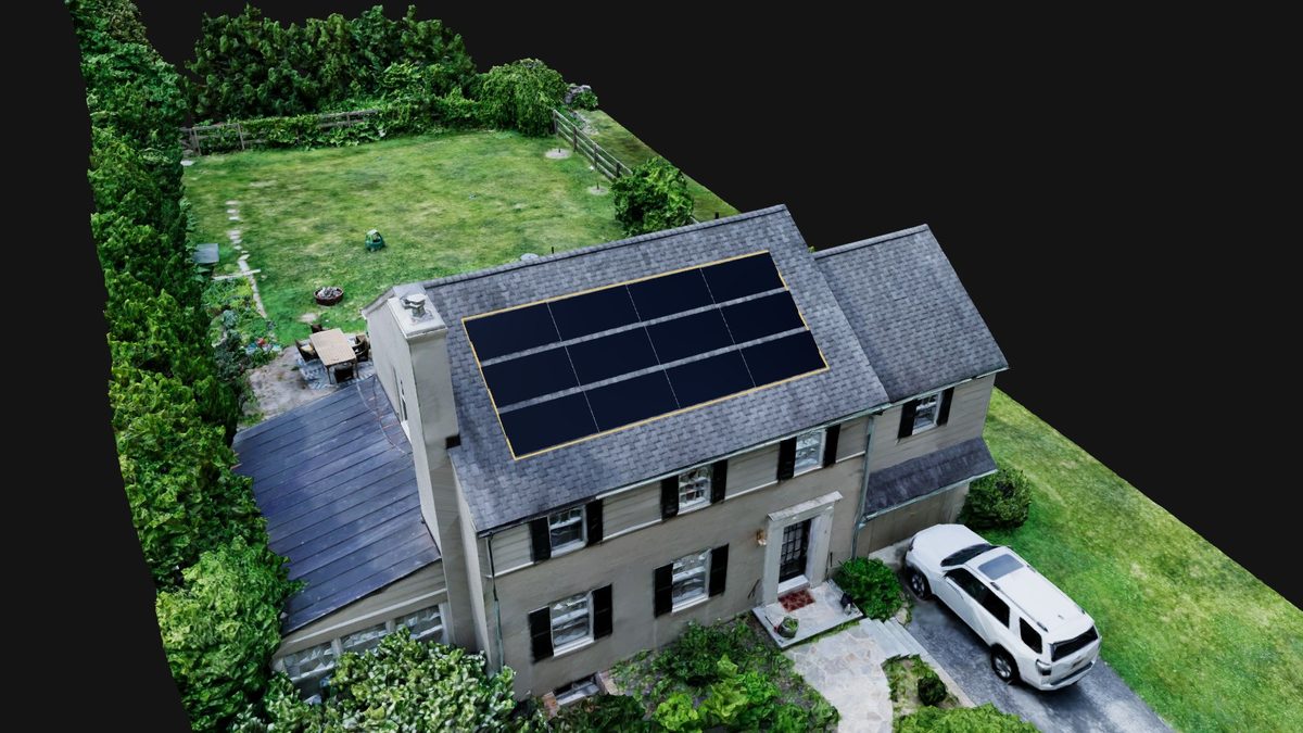
Solar & layout measurements
Usable roof planes with areas, pitches, and obstruction positions — the geometry a panel layout or coating bid starts from.
Delivered as: measured plane diagram · DXF on request
Roof measurement report
Total area, per-facet breakdown, pitch, ridges, hips, valleys, and eaves — measured from a 3D capture of the actual roof, not an old satellite pass.
Delivered as: PDF report · facet diagram
Condition & inspection imagery
Close, sharp imagery of the whole roof surface, flashing, chimneys, and penetrations — sell from evidence, not from the driveway.
Delivered as: high-res photo set
Storm-damage documentation
Dated, comprehensive post-storm imagery that supports the claim file — captured safely, fast, across every slope.
Delivered as: dated photo set · summary PDF
Fits your workflow
- —Reports back within days of the flight — often next-day
- —Volume pricing for recurring estimate work
- —No ladders, no walk hazards, no access hassles for steep or high roofs
Go deeper on the how:
New client? The first flight is on us — we'll capture one site and hand you the full output, so you can judge the work before spending a dollar.