04 — Real Estate

Aerial Real Estate Photography, Video & Interactive 3D Tours

Listings that move. Cinematic aerial photo and video, plus interactive 3D models that let buyers explore a property before they ever visit — a level of presentation most listings (and most competitors) don't offer.

More than a flyover

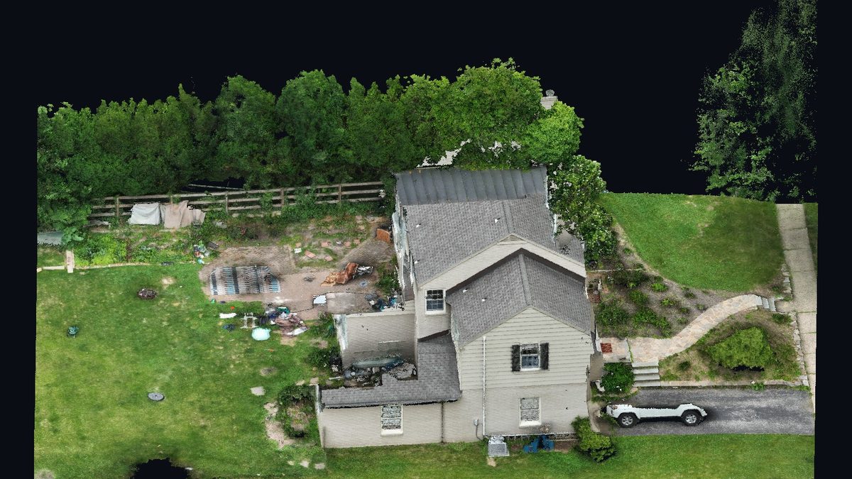
Anyone can hand you a drone photo. We hand you an interactive 3D model of the home and its grounds that buyers can navigate from any device — the kind of showpiece that gets a listing shared and remembered.

Choose a tier to fit the listing: stills only, stills plus a cinematic video, or the full showcase with an embedded 3D model.

Actual output
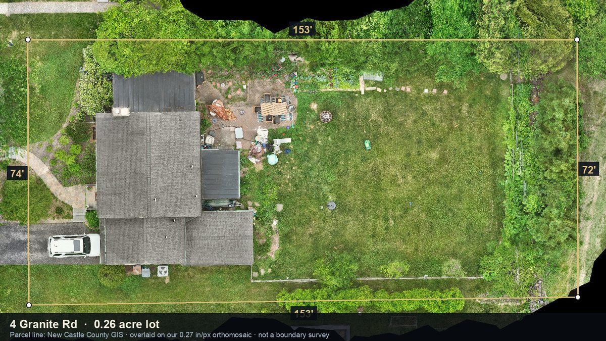
Lot lines and dimensions over a measurable drone orthomosaic
Lot context buyers actually understand
Navigable 3D model of a property and its grounds
The property as a navigable 3D model
Photoreal radiance-field render of a residential property
Gaussian-splat walkthrough (illustration)
See it live on the home page →

Ready to see it from above?

Tell us about your site or listing and we'll scope the flight.

Book a shoot