General contractors, custom-home builders, and construction managers who need a clear, dated record of what's happening on site.
What you walk away with
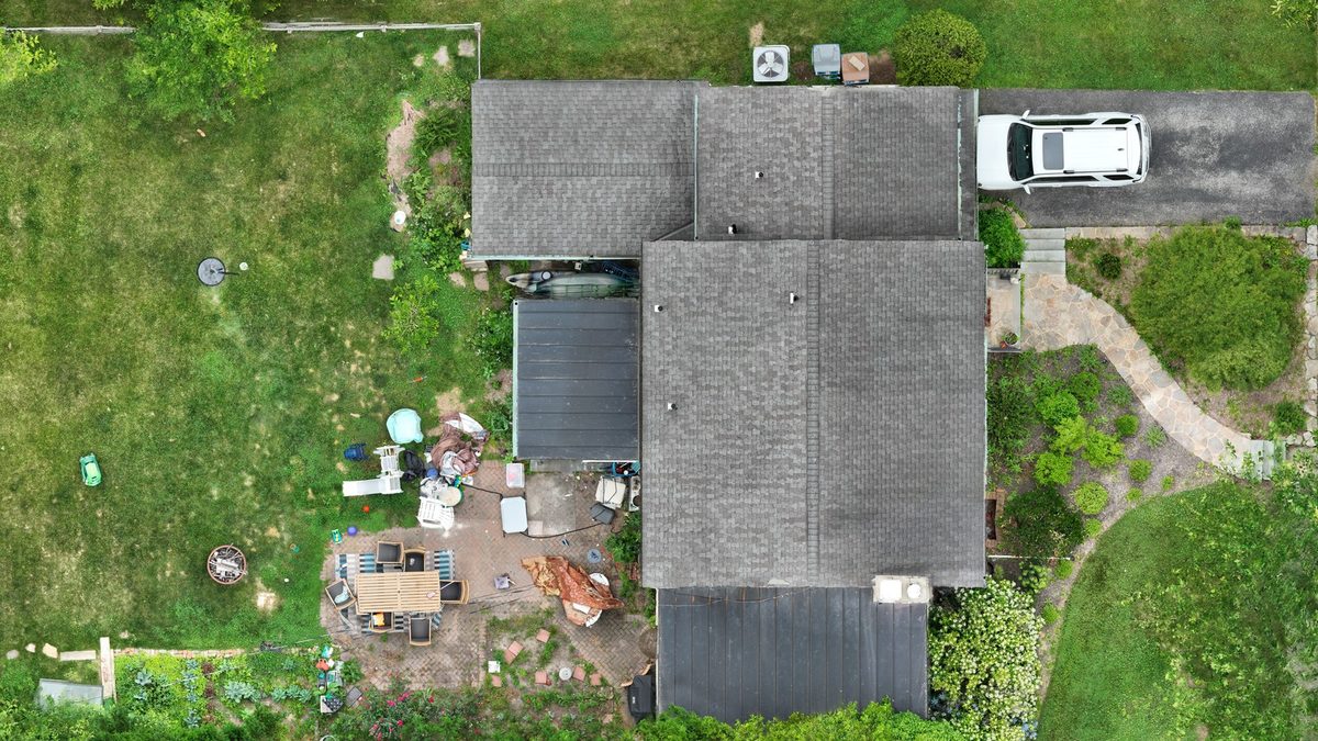
Measurable site map
One to-scale top-down image of the whole site, sharp enough to read layout, staging, and access — and accurate enough to measure on.
Delivered as: orthomosaic GeoTIFF · PDF
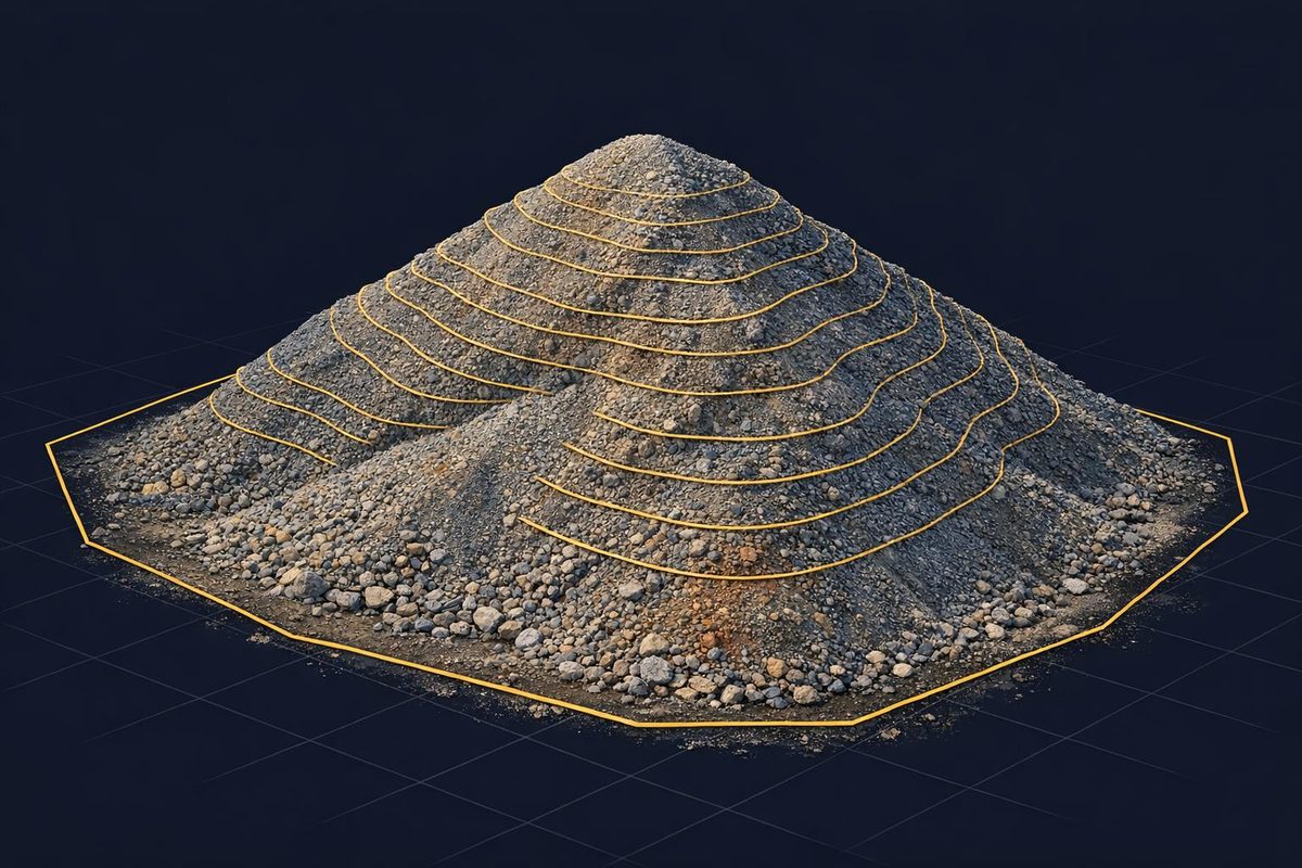
Cut/fill & stockpile volumes
Earthwork quantities measured from the capture — track what's been moved, verify what you're billed for, in cubic yards.
Delivered as: volume report · surface models
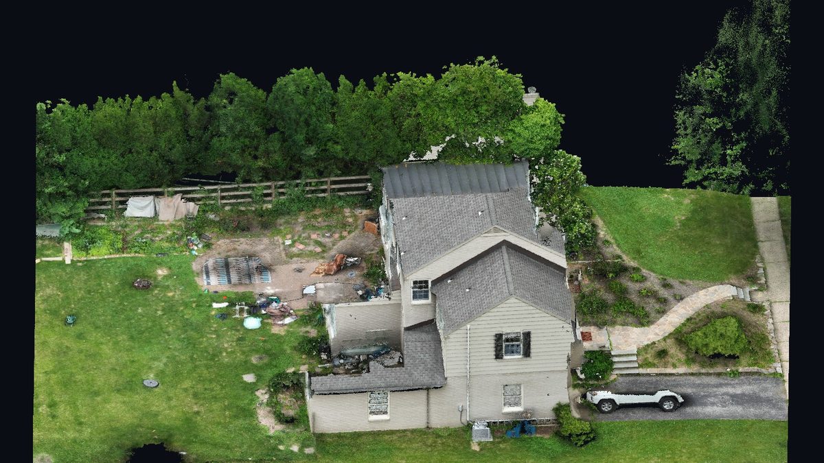
3D site model
The site as a navigable model your whole team can reference — and a striking way to show clients progress.
Delivered as: web link (GLB) · OBJ/FBX
Progress documentation
A clean aerial photo set of the site on a repeat cadence — for client updates, lender draws, coordination meetings, and a defensible record if anything is ever questioned.
Delivered as: dated photo sets · optional video
As-built vs. plan overlay
Your site plan laid over what's actually built, so deviations surface early — while they're still cheap to fix.
Delivered as: overlay exhibit (PDF/DWG underlay)
Fits your workflow
- —Orthos and overlays print to PDF or drop into your plan set
- —Point clouds import to Autodesk/BIM tools when precision matters
- —Flights scheduled around your pours and crane picks — early or off-hours
Go deeper on the how:
New client? The first flight is on us — we'll capture one site and hand you the full output, so you can judge the work before spending a dollar.