Licensed surveyors and civil engineering firms who want aerial capture as a data source under their own professional control.
What you walk away with
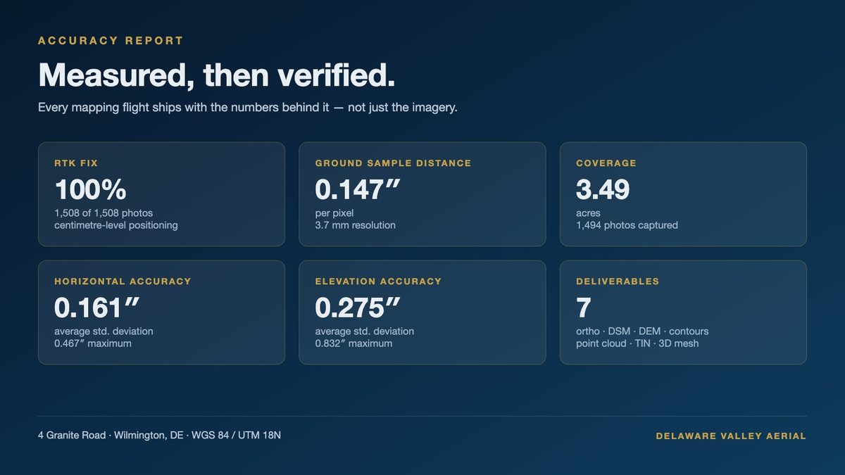
Controlled aerial capture
RTK flights with your ground control — or targets we set to your spec — processed with an accuracy report you can evaluate before anything leaves your desk.
Delivered as: raw imagery · GCP report · processing report
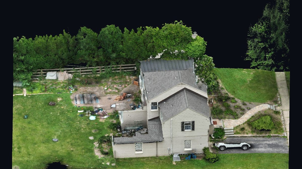
Point clouds
Dense, noise-reduced clouds with optional ground classification — bare-earth ready for surface generation.
Delivered as: LAS 1.4 · PTX · XYZ
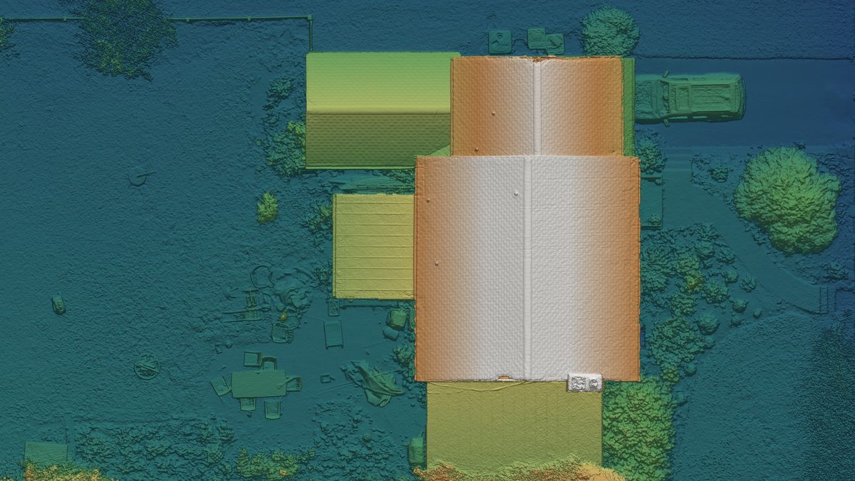
Orthos & elevation rasters
Geo-referenced orthomosaics, DSM, and DTM at documented GSD — base layers for your linework.
Delivered as: GeoTIFF (WGS 84 / UTM or your CRS)
Surfaces & terrain products
TIN surfaces and contour linework generated from classified ground points — import and go.
Delivered as: TIN · contours (DXF/SHP)
Fits your workflow
- —Deliverables import directly to Civil 3D, Carlson, and GIS platforms
- —Your CRS, your control, your review — we provide data, not boundary opinions
- —Fast turnaround for sites that don't justify mobilizing a full crew
Go deeper on the how:
New client? The first flight is on us — we'll capture one site and hand you the full output, so you can judge the work before spending a dollar.