Land developers and construction-management firms evaluating parcels, moving projects through entitlement, and overseeing multiple active sites.
What you walk away with
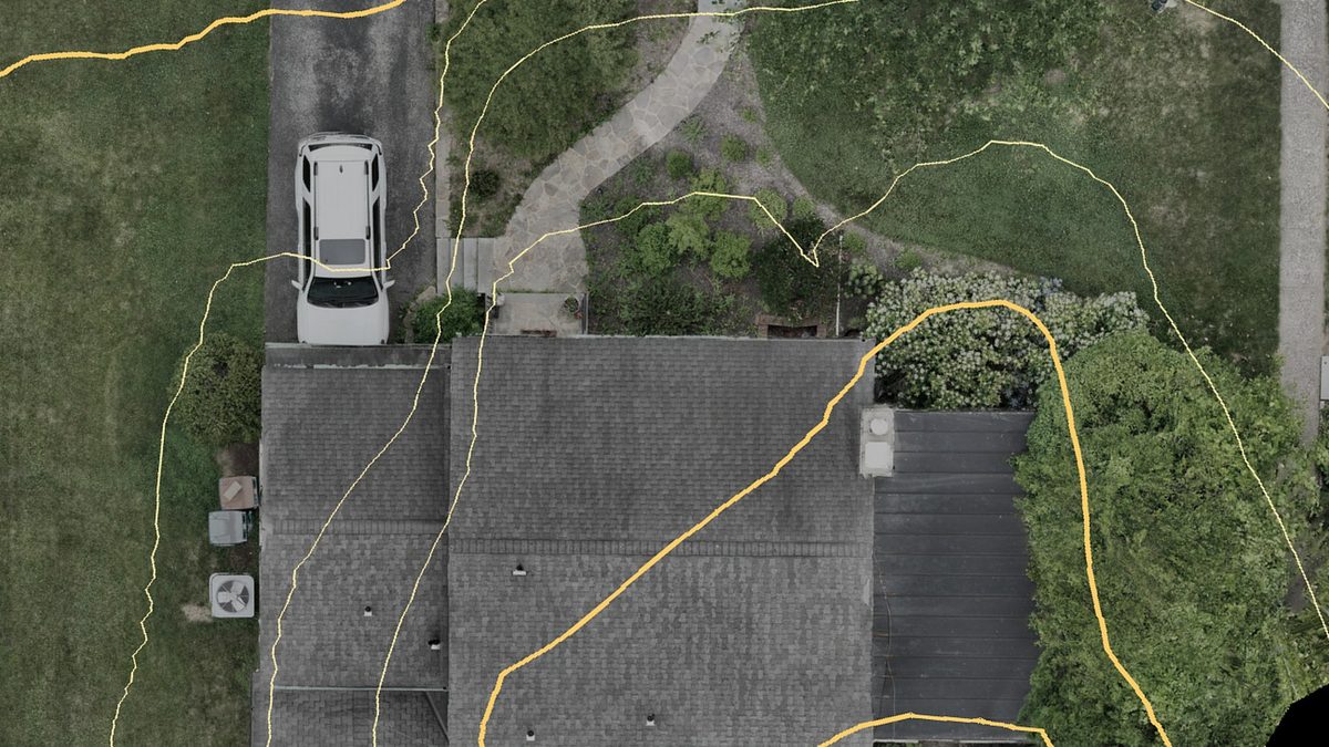
Topographic mapping & contours
Elevation models and contour linework across the whole parcel — grading feasibility, drainage, and yield studies before you're deep in the deal.
Delivered as: contours (DXF/SHP) · DTM/DSM GeoTIFF · TIN
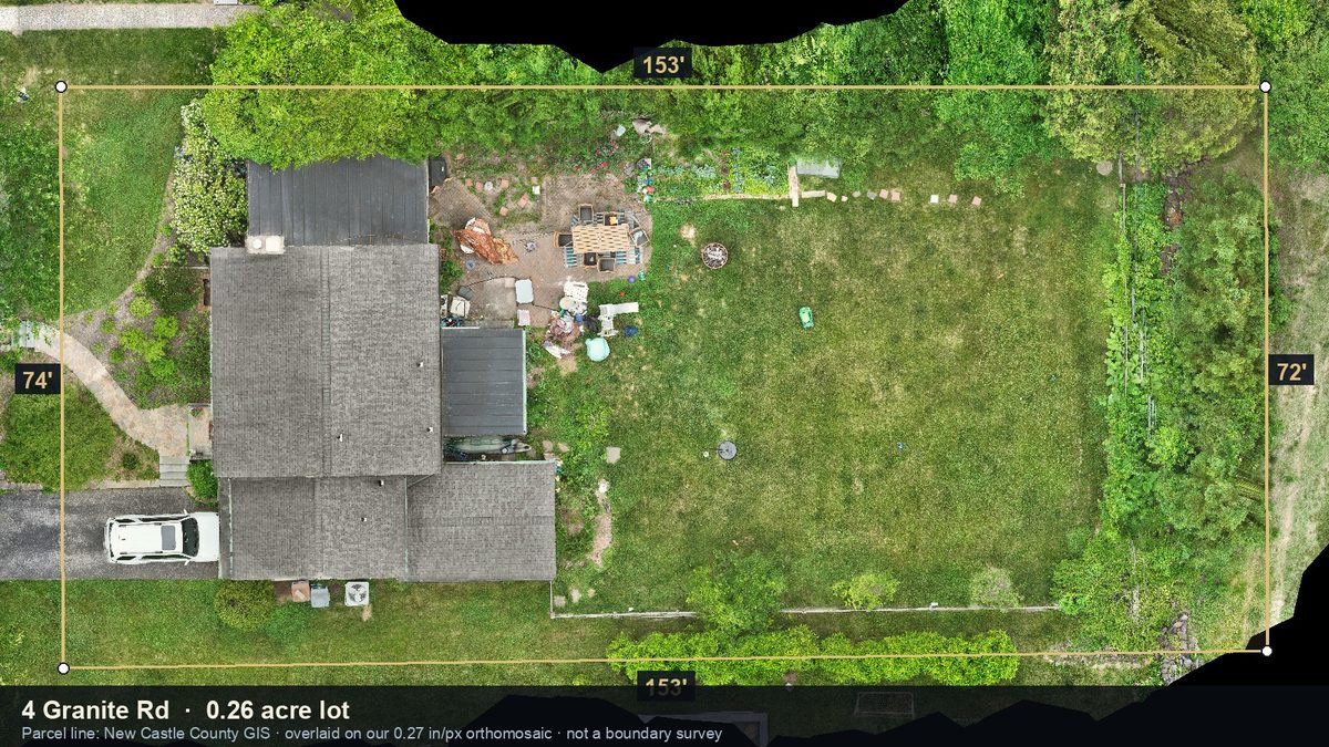
Entitlement & marketing exhibits
High-resolution orthos and aerial perspectives of the parcel in context — the exhibits that go in front of planning boards, lenders, and buyers.
Delivered as: GeoTIFF ortho · print-ready exhibits
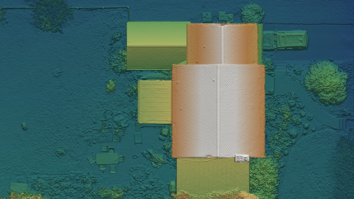
Engineering-ready surfaces
TIN surfaces and classified point clouds your civil engineer imports directly — no re-drawing, no translation loss.
Delivered as: TIN · LAS 1.4 (ground-classified) · GeoTIFF
Multi-site progress oversight
A standing flight schedule across your active projects: the same dated documentation and volumes on every site, in one consistent format.
Delivered as: per-site photo sets · orthos · volume reports
Large-site streaming 3D
Big parcels served as streaming 3D tiles — explore hundreds of acres in a browser without downloading a giant file.
Delivered as: Cesium 3D Tiles · hosted viewer link
Fits your workflow
- —Surfaces import to Civil 3D via TIN/LAS — your engineer starts from data, not paper
- —Georeferenced to WGS 84 / UTM with RTK; GCP control available for survey alignment
- —One vendor, one format, every site — comparable across the portfolio
Go deeper on the how:
New client? The first flight is on us — we'll capture one site and hand you the full output, so you can judge the work before spending a dollar.